| 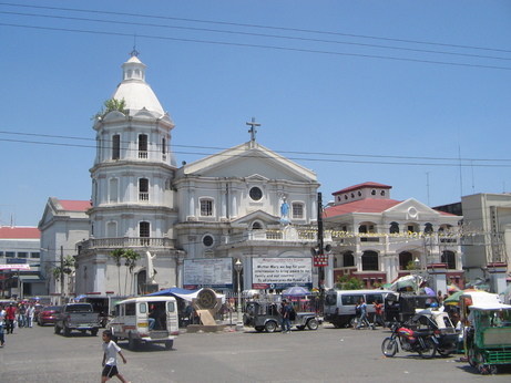
San Fernando Cathedral on 'San Fernando Cathedral' (15.028107,120.693927)+20m
[p-ad20060414-11h21m50s-y.jpg, 1600 × 1200, 880 kB]
|
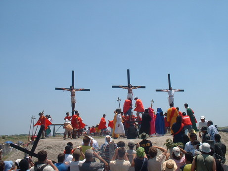
Near Crucifiction site on 'San Fernando to Crucifiction site' (15.012580,120.698034)+17m Every year on Good Friday, the people of San Fernando, Pampanga in Philippines perform a re-enactment of the crucifiction.
The volunteers carry a cross across the town since the morning until the crucifiction spot, at the point marked here, that the will reach shortly after 13:00.
The volunteers are actually nailed to the wood, where thay will stay a five to ten minutes. A medical team will recieve them afterward. Since the scene only allows for three characters, the re-enactment will be performed several times to endulge all the voluteers.
This is performed outside of the Church authority.
[p-ad20060414-12h54m52s-r.jpg, 1280 × 960, 330 kB]
|
| 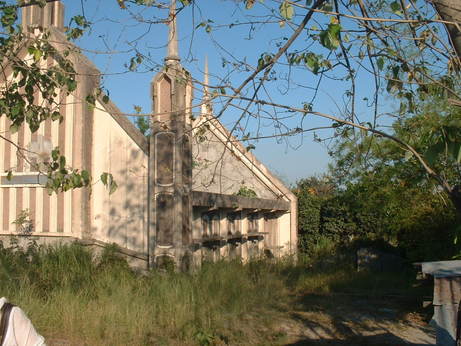
Near Buried IDC on 'Porac to Bacolor' (15.084257,120.550764)+114m Buried Church of Christ, in Porac, province of Pampanga, Philippines.
One of many remains of the lahar flows from Mt Pinatubo are the ruins of this church half buried. It is not a catholic church, it is a 'Church of Christ' ('Iglesia ni Cristo' in Tagalog), which is a Christian group very much present in Philippines (the second religious group actually).
The Inglesia ni Cristo title and symbol have been removed from the front.
This place is worth visiting if you go in the area, although there is currently a cloud and low-res view in GE of this point.
[p-ad20060414-16h44m51s-u.jpg, 1280 × 960, 332 kB]
|
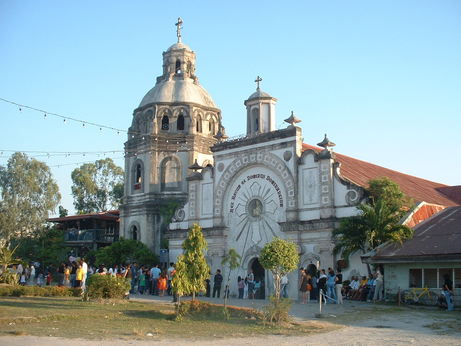
Near Parish of Bacolor on 'Church and procession of Parish of Bacolor' (15.000859,120.648521)+24m The church that you see in the book is the San Guillermo Parish Church, in the town of Bacolor, Pampanga.
"Named after the town's Patron Saint, San Guillermo. The Church was originally constructed by the Augustinian Friars in 1676 - also the town's founding - with Fr. Diego De Ochoa, OSA, as the town's first parish priest having been installed as such two years after. In 1880, the Church was destroyed by an earthquake only to be rebuilt by Fr. Eugenio Alvarez in 1886. On September 3, 1995, lahar flow from the slopes of Mt. Pinatubo which erupted into world notice on June 15, 1991, buried the church at half it's 12-m height prompting of it's more than 50,000 town residents to evacuate to safer grounds in resettlements areas." (local documentation)
You can only understand this story if you know what are 'lahars': they are large deposits of dry ashes around the volcano. On rainy saison, when they are soaked with rain they can relocate as dangerous massive landslides. The surounding slopes of the Pinatubo Volcano are still loaded with lahars, and this is what happened to Bacolor in 1995.
Nowodays, the church is still in use, although only half it's original height, because they did not bother excavate it. They now use the window of the first floor as the door. After all: who needs 12 meters of empty space above one's head, even for prays? 6-m ought to be good enough.
[p-ad20060414-17h24m20s-z.jpg, 1280 × 960, 324 kB]
|
| 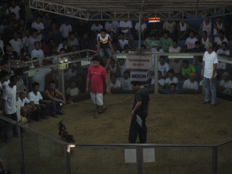
Off track by 9min [0m], maybe 12m from Cockfight coliseum at (14.894681,120.873770).
[p-ad20060416-14h49m12s-w.jpg, 2048 × 1536, 924 kB]
|
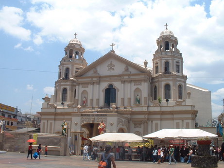
Near Quiapo Church on 'Malate to Quiapo to Carriedo' (14.597869,120.983635)+13m
[p-ad20060418-11h56m49s-t.jpg, 1280 × 960, 340 kB]
|
| 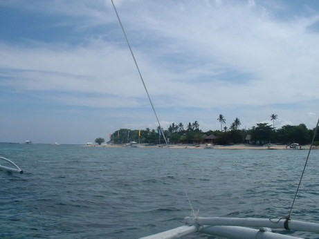
At Diving site (Baligasag drop-off) on 'Dolphino sighting and Baligasag snorkling' (9.514016,123.680698)+8m
[p-ad20060420-09h51m37s-a.jpg, 1280 × 960, 336 kB]
|
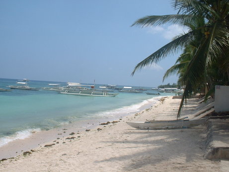
Off track by 18h59 [0m], maybe 43m from Oasis Resort at (9.549519,123.773145).
[p-ad20060422-12h59m23s-g.jpg, 1280 × 960, 331 kB]
|


